LRIT and AIS have many differences, especially in their functions and the purpose of their installation.
While both equipment are used for tracking vessels, they have stark contrasting features that set them apart. The way they handle data and the recipients of those data also differ because of the underlying infrastructure.
Before we discuss their dissimilarity, let’s first define what these equipment are and why they are used on board.
Key Takeaways
- LRIT focuses on maritime security, while AIS prioritizes collision avoidance.
- LRIT data is restricted to government authorities, while AIS data is accessible to anyone with receiving equipment.
- Seafarers, especially the navigating officer, usually update the AIS’s voyage data. LRIT requires no intervention.
LRIT Definition
An LRIT, or Long-Range Identification and Tracking, is a global monitoring system that transmits position information at specific intervals to track a vessel’s movements.
I made a more detailed article about what an LRIT is and the infrastructure that runs behind it.
You should know that this system is run by a specific organization geared towards the security and transparency of ships sailing across the ocean.
AIS Definition
An AIS or Automatic Identification System is an equipment used for navigation that enables ships to continuously broadcast their identity, position, course, speed, and other relevant information to other nearby ships and shore-based stations.
Here are the significant distinctions between LRIT and AIS.
Major Differences Between LRIT and AIS
Infrastructure
1. AIS functionality is much simpler as it broadcasts and receives ship data to all AIS stations in range. There are no data processing, management, and storage infrastructures involved.
2. LRIT data involves six parts, from data sending to storage and management architecture, as listed below:
- Shipborne LRIT equipment
- Communication Service Provider (CSP)
- Application Service Provider (ASP)
- LRIT Data Centre
- Data Distribution Plan (DDP)
- International LRIT Data Exchange (IDE)
Data Transmitted
3. LRIT transmits the following data:
- Ship’s identity
- Positional data in latitude and longitude
- Date and time.
4. On top of the information above, an AIS transponder transmits more static, dynamic, and voyage-related data, such as:
- Ship’s length, beam, and draft
- Course Over Ground (COG)
- Speed Over Ground (SOG)
- Heading
- Rate of Turn (taken from the rate of turn indicator)
- Type of Cargo
- Destination
- Estimated Time of Arrival
Reception of Data
5. Shore-based data centers can only receive and process LRIT data.
6. AIS data can be received by ships and shore stations equipped with AIS devices.
Communication Functionality
7. You can send and receive SMS data to any station, just like when you are messaging using your phone.
8. While the LRIT system can receive data from shoreside data centers, it is only for “polling” the shipborne LRIT to transmit the requested information.
Usage in Pirate-Infested Areas
9. When entering pirate-infested areas, some ships may switch off their AIS equipment to prevent pirates from gaining more information about the ship.
10. LRIT is always advised to be switched on at all times, especially in pirate-infested areas.
Primary Function
11. The main function of an AIS is to promote safety by increasing situational awareness and assisting in collision avoidance.
12. For LRIT, its primary function is for increased security and transparent shipping by tracking, identifying, and monitoring ship movements.
Commercialization of Data
13. Many companies worldwide commercialize AIS data for ship tracking services offered to interested parties for fleet management and monitoring.
14. LRIT data is not for sale and is managed by government authorities.
Access to Data
15. Nearby vessels, coastal stations, military ships, and even pirates can access and use AIS data.
16. Only flag states, coastal states, port states, and search and rescue authorities can access a ship’s LRIT information.
Data reception and handling
17. LRIT data go straight to shore-based data centers to be processed and stored.
18. Any station who has their own AIS equipment can received AIS data.
Transmission Frequency and Interval
19. AIS transponder transmits data continuously in real-time or nearly real-time.
20. The shipborne LRIT sends data in 15-minute, 6-hour, or 24-hour intervals.
Regulatory Requirements
21. SOLAS regulation Chapter V, Regulation 19-1, defines the installation of the “Long-range identification and tracking of ships.”
22. Meanwhile, the AIS has its basis in the same chapter but on Regulation 19, which concerns the “Carriage requirements for shipborne navigational systems and equipment.”
Integration with Navigation Systems
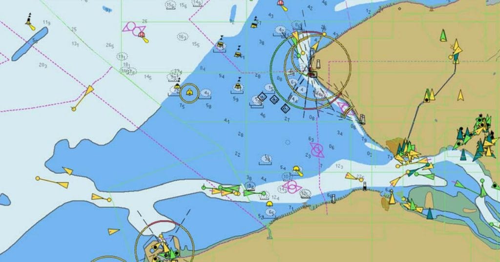
23. The Automatic Identification System can be overlaid in your Automatic Radar Plotting Aid (ARPA) and Electronic Chart Display and Information System (ECDIS).
24. The Long-Range Tracking and Information System only connects to the ship’s GPS and VDR.
Activation
25. Depending on port regulations, the AIS terminal should be set to low power mode (1W) or totally switched off. This is common on different tanker vessels.
26. Meanwhile, the ship’s LRIT is continuously switched on.
Range
27. LRIT system works globally.
28. However, an AIS has a range of up to 20 miles. The equipment is primarily useful during coastal navigation.
Ship Applicability
29. These ships engaged in international voyages are required to have an LRIT:
- passenger ships, including high-speed passenger craft
- cargo ships, including high-speed craft of 300 gross tonnage
- mobile offshore drilling units (MODU)
30. Ships belonging to these categories must have an AIS:
- All ships of 300 gross tonnage and upwards engaged on international voyages.
- Cargo ships of 500 gross tonnage and upwards not engaged on international voyages
- Passenger ships, irrespective of size
Main Function
31. Due to its real-time transmission and reception of signals, AIS is used as an aid to navigation (AtoN).
32. LRIT is an aid to improve maritime security.
Communication Technology
33. LRIT primarily works on satellite communication. It also interfaces with terrestrial communications if close to the shore.
34. AIS works on VHF communication, which functions about 20 miles from land. But today, we have satellite AIS, which transmits AIS data to satellites while in the middle of the ocean.
Operating Frequency
35. AIS works on two VHF frequencies- 161.975 MHz and 162.025 MHz.
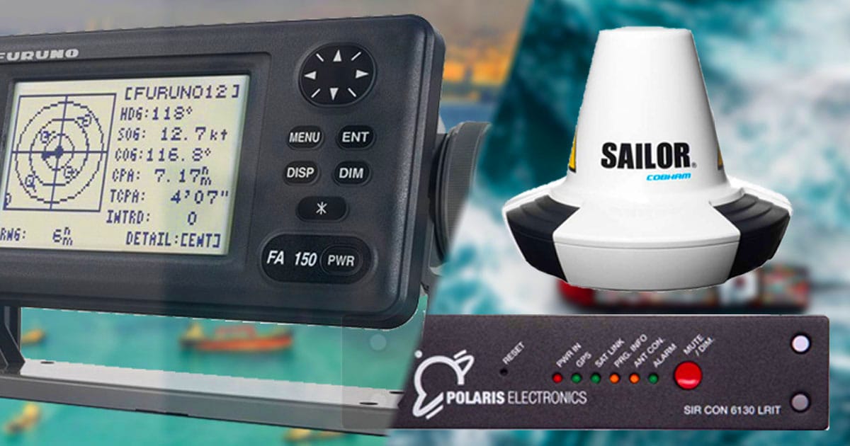
36. LRIT has no specific frequency. However, most use between 1545 MHz and 1626.5 MHz, depending on the maker, such as the BlueTraker LRIT and the SAILOR 6130 mini-C LRIT.
Manual Intervention
37. AIS needs intervention to update voyage-related data such as destination, ETA, cargo type, etc.
38. The ship’s crew must not to intervene or update the LRIT.
The AIS and LRIT have many differences, even if they are both used for tracking.
Though the shipborne LRIT only functions to send data automatically without intervention from the ship’s crew, it has a more complicated infrastructure running behind.
May the winds be in your favor.
Leave a Reply