Modern ships rely on both LRIT (Long-Range Identification and Tracking) and AIS (Automatic Identification System) for vessel tracking, but these systems serve very different purposes.
While both are required under SOLAS regulations, they differ in data accessibility, regulatory use, communication infrastructure, range, and primary function.
Understanding these distinctions is crucial for seafarers, navigators, fleet operators, and maritime authorities.
Let’s begin by defining both systems before comparing them point-by-point.
🔍 What Is LRIT (Long-Range Identification and Tracking)?
LRIT is a global satellite-based system that tracks ships over long distances to enhance maritime security, flag-state monitoring, and port-state control.
It was established under SOLAS Chapter V, Regulation 19-1, and is mandatory for:
- Passenger ships (including high-speed craft)
- Cargo ships ≥300 GT on international voyages
- Mobile offshore drilling units (MODUs)
LRIT transmits a vessel’s identity, position, and timestamp at defined intervals (every 15 minutes, 6 hours, or 24 hours).
The data is sent securely to authorized government entities via a dedicated global architecture.
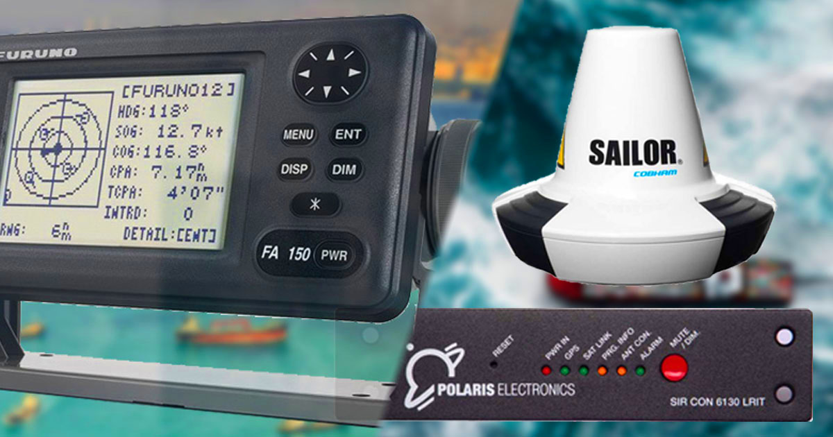
📡 LRIT Infrastructure Includes:
- Shipborne LRIT equipment
- Communication Service Provider (CSP)
- Application Service Provider (ASP)
- LRIT Data Centre
- Data Distribution Plan (DDP)
- International LRIT Data Exchange (IDE)
LRIT data is not available to the public and is strictly used by flag states, coastal states, port states, and SAR (Search and Rescue) authorities.
📡 What Is AIS (Automatic Identification System)?
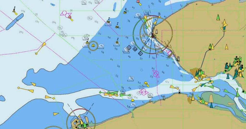
AIS or Automatic Identification System is a VHF radio-based system used for collision avoidance and navigational awareness.
It allows ships to continuously broadcast their data- such as position, speed, heading, voyage info, and cargo type, to nearby vessels and coastal stations.
AIS is mandated under SOLAS Chapter V, Regulation 19 and required for:
- All ships ≥300 GT on international voyages
- Cargo ships ≥500 GT not on international voyages
- All passenger ships, regardless of size
There are two types of AIS:
- Class A: Used on SOLAS ships with full functionality
- Class B: Used on smaller vessels with limited features
Unlike LRIT, AIS data is openly accessible to anyone with a receiver, including other ships, harbor authorities, military vessels, and even pirates.

⚖️ LRIT vs AIS: Key Differences (Grouped Comparison)
🧬 System Infrastructure
| Feature | AIS | LRIT |
| 1. Architecture | Simple; transmits directly via VHF | Complex; involves CSP, ASP, LRIT DC, IDE |
| 2. Data Flow | Real-time broadcast | Interval-based transmission |
📊 Data Transmitted
3. AIS Transmits:
- MMSI number
- Ship name and type
- Position (Lat/Long)
- Speed Over Ground (SOG)
- Course Over Ground (COG)
- Heading
- Voyage data: destination, ETA, cargo type
- Rate of turn (taken from the rate of turn indicator), draft, and dimensions
4. LRIT Transmits:
- MMSI/IMO number
- Ship position (Lat/Long)
- Date and time stamp only (No voyage or cargo data)
🛰️ Communication and Reception
| Category | AIS | LRIT |
|---|---|---|
| 5. Signal Type | VHF | Satellite & terrestrial |
| 6. Reception | All AIS-equipped vessels & shore stations | Only authorized shore-based data centers |
| 7. Range | ~20–40 nautical miles (VHF) | Global coverage (via satellite) |
| 8. Transmission | Continuous, real-time | Periodic (every 15 min to 24 hrs) |
| 9. Data Access | Public and commercial | Government-authorized only |
🎯 Primary Function and Use
| AIS | LRIT |
| 10. Collision avoidance and situational awareness | Maritime security and compliance monitoring |
| 11. Integrated with ECDIS, ARPA, and radar | Connects with GPS and VDR only |
| 12. Used as Aids to Navigation (AtoN) | Used for long-range ship tracking |
🔐 Access & Security
- 13. AIS data is openly accessible and often used by marine traffic websites, logistics companies, and even pirates in high-risk areas.
- 14. LRIT data is restricted to government bodies and is not available for commercial or public use.
⚠️ In pirate-infested waters, ships often switch off AIS to conceal their identity, but LRIT must remain active at all times for compliance and security tracking.
📜 SOLAS Regulatory Requirements
| AIS | LRIT |
|---|---|
| 15. Covered by SOLAS Chapter V, Regulation 19 | Covered by SOLAS Chapter V, Regulation 19-1 |
| 16. Required for all ships ≥300 GT on international voyages, and all passenger ships | Required for all passenger ships, cargo ships ≥300 GT, and MODUs on international voyages |
Both systems are mandatory under IMO regulations and are subject to flag-state inspections.
⚙️ Integration with Navigation Systems
| AIS | LRIT |
| 17. Displays on ARPA, ECDIS, radar overlays | Not used in navigation displays |
| 18. Interacts with other navigational systems | Only interfaces with GPS and VDR |
19. AIS enhances situational awareness and supports real-time collision avoidance.
20. LRIT is used solely for long-distance vessel monitoring and incident tracking.
🔌 Activation and Manual Control
| System | Activation | Manual Input |
| 21. AIS | Can be switched off or reduced to low power (1W), especially in ports or high-risk areas | Bridge crew must update voyage info (ETA, cargo, destination) |
| 22. LRIT | Always on, cannot be switched off while on international voyages | Requires no manual intervention from ship’s crew |
✅ This makes LRIT more secure and tamper-resistant compared to AIS.
🌍 Range and Communication Medium
| Parameter | AIS | LRIT |
|---|---|---|
| 23. Transmission Range | 20–40 nautical miles via VHF | Global, via satellite |
| 24. Communication Type | VHF (161.975 MHz and 162.025 MHz) | Satellite (1545–1626.5 MHz depending on equipment) |
| 25. Satellite Capability | Satellite AIS exists but limited in small vessels | Satellite is the core of LRIT communication |
🛳️ Applicability by Ship Type
| AIS Required On | LRIT Required On |
|---|---|
| 26. Ships ≥300 GT on international voyages | Passenger ships (incl. high-speed craft) |
| 27. Cargo ships ≥500 GT not on international voyages | Cargo ships (incl. high-speed craft) ≥300 GT |
| 28. All passenger ships regardless of size | Mobile offshore drilling units (MODUs) |
29. AIS is broader in scope, covering domestic and non-passenger ships. LRIT is stricter on international security compliance.
🧭 Functional Purpose
| AIS | LRIT |
| 30. Real-time navigation aid | Security-focused vessel monitoring |
| 31. Supports anti-collision systems and port entry coordination | Helps flag and coastal states track ship positions in exclusive economic zones (EEZs) |
❓ Frequently Asked Questions (FAQ)
✅ Why do ships need both AIS and LRIT?
Because they serve different purposes.
AIS aids in navigation and collision avoidance, while LRIT supports long-range tracking and security enforcement for flag and port states.
✅ Can pirates access LRIT data?
No. LRIT data is encrypted and only accessible to authorized authorities. Pirates and third-party services cannot retrieve it.
✅ Can LRIT replace AIS?
No. LRIT is not designed for real-time navigation or close-quarters maneuvering. AIS remains essential for bridge watchkeeping and radar overlay functions.
✅ Are ships allowed to switch off AIS?
In some situations, such as piracy zones or port regulations, AIS may be reduced in power or turned off, but LRIT must always remain active for SOLAS compliance.
✅ What’s the key takeaway for seafarers?
As a seafarer, especially a navigating officer, it’s important to understand the limitations and proper use of both systems.
Know when to update voyage data on AIS, and ensure that LRIT remains operational and compliant.
⚓ Final Thoughts: LRIT and AIS Serve Different Masters
Although both AIS and LRIT are vessel tracking systems, their purpose, functionality, data access, and regulations are fundamentally different.
- AIS = Real-time navigation and situational awareness
- LRIT = Long-range security tracking for maritime governance
A competent officer should understand when, why, and how each system is used onboard.
Proper use ensures compliance with international law, enhances safety, and supports global maritime security.
🌍 Keep AIS updated, keep LRIT running, and sail smart.
May the winds be in your favor.
Leave a Reply