


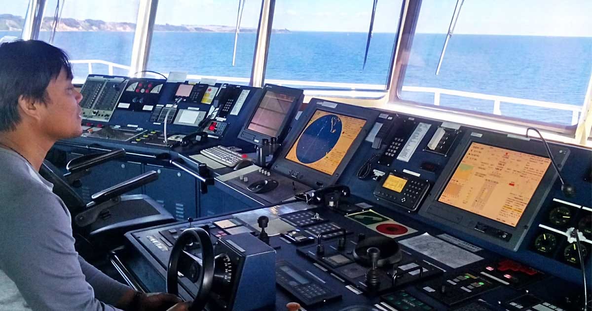
Marine navigation depends on accurate, real-time data.
Whether on a container ship or a coastal vessel, seafarers rely on specialized tools to plot positions, avoid hazards, and comply with SOLAS and COLREGS.
This guide lists 26 essential marine navigational tools, from gyro compasses to AIS, explaining how each one supports safe, efficient ship operations.
These equipment are most useful especially in challenging conditions like restricted visibility or equipment failure.
📌 Key Takeaways
- Navigational tools are essential for safe, accurate, and efficient ship operations.
- Systems like Radar, ARPA, ECDIS, and AIS enhance situational awareness and collision avoidance.
- Traditional devices such as the magnetic compass and sextant remain vital backups.
- A combined use of tools offers redundancy and greater navigational accuracy.
- Knowledge of these systems is required under SOLAS and COLREGS and is part of every officer’s duty.
🛠️ Navigational Tools on Ships and Their Functions
1. ⚙️ Gyro Compass
The gyro compass is an electrically driven instrument that always points to true north, unaffected by magnetic fields or ship movement.
It’s a critical tool for accurate course-keeping and is often integrated with other bridge systems like autopilot, ECDIS, and ARPA.
- 📍 Location: Bridge centerline with repeaters on port and starboard wings
- 📈 Function: Provides reliable heading data for navigation and equipment synchronization
- ✅ Key Advantage: Not affected by magnetic variation or deviation
🧭 A gyro compass is mandatory under SOLAS for ships above certain tonnage.
2. 🧲 Magnetic Compass
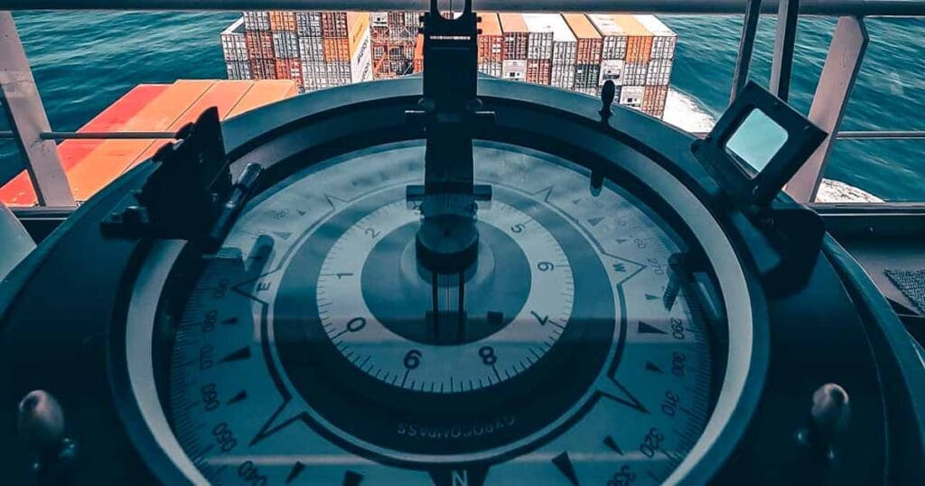
Despite being centuries old, the magnetic compass remains a SOLAS-required backup for directional guidance.
It uses the Earth’s magnetic field to point toward the magnetic north.
- 📍 Location: Typically on the monkey island
- 📈 Function: Backup heading reference for manual navigation
- ⚠️ Needs correction for deviation using a deviation card and regular compass swinging
🔍 Essential for DR navigation during gyro or power failure scenarios.
3. 📡 Marine Radar
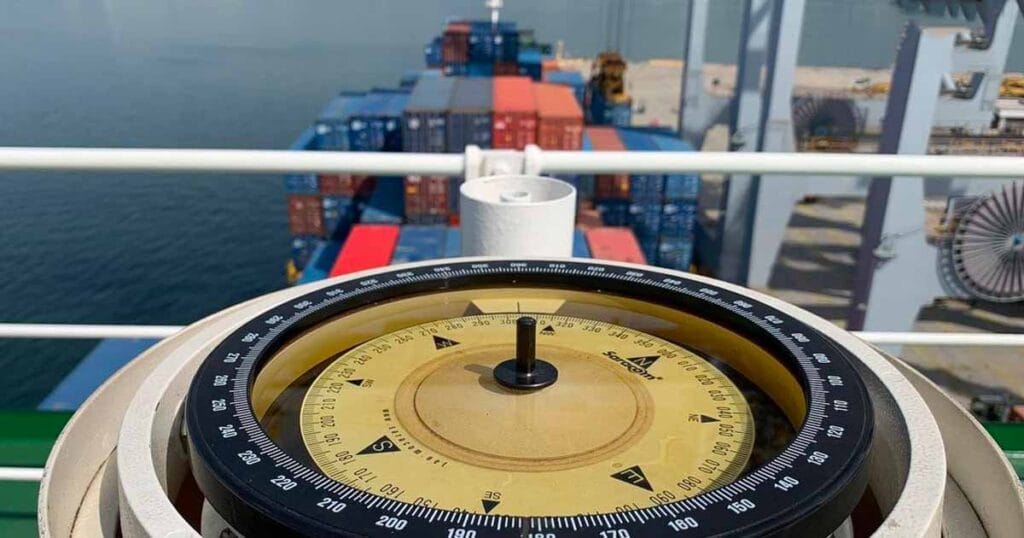
Marine radar (RAdio Detection And Ranging) is the bridge officer’s best friend in restricted visibility.
It detects targets like vessels, landmasses, and buoys even in darkness or fog.
- 📍 Location: Radar antennas on the mast or monkey island
- 📈 Function: Detects range, bearing, and movement of surrounding objects
- 🌀 Variants: S-Band (long range, weather-resistant) and X-Band (short range, sharper detail)
🌫️ Vital for collision avoidance and target acquisition under COLREGS Rule 19.
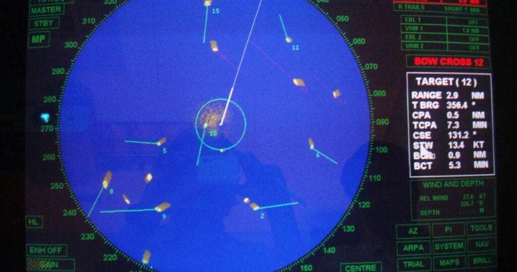
4. 🧠 Automatic Radar Plotting Aid (ARPA)
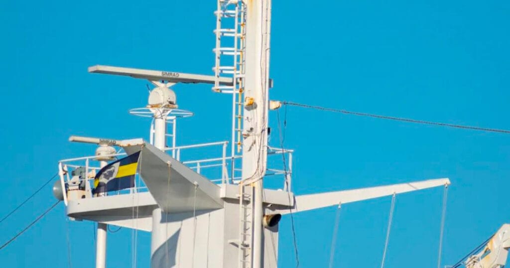
ARPA enhances standard radar by automatically acquiring and tracking multiple targets within a defined zone.
It calculates important vectors like:
- CPA (Closest Point of Approach)
- TCPA (Time to CPA)
- Target speed, course, and heading
🛑 Reduces OOW workload and enables rapid decision-making in traffic situations.
5. 🌍 GPS Receiver
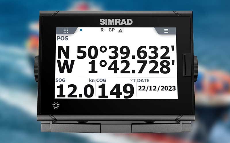
The Global Positioning System (GPS) triangulates signals from satellites to fix the vessel’s location globally- providing accurate latitude, longitude, SOG (Speed Over Ground), and COG (Course Over Ground).
- 📈 Function: Precise position fixing and navigation
- 🛰️ Type: Often integrated into ECDIS, AIS, and voyage data recorders
- 📡 Note: GPS accuracy can degrade under spoofing or satellite interference
🧠 Combining GPS with manual DR enhances positional accuracy.
6. 🗺️ Electronic Chart Display and Information System (ECDIS)
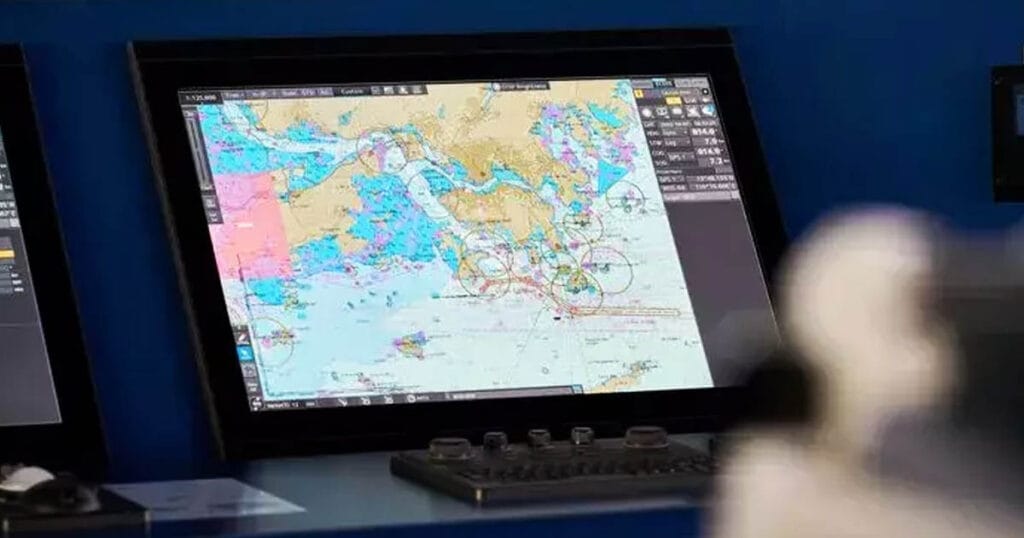
Think of ECDIS as the seafarer’s digital map.
It replaces traditional paper charts and integrates with several tools to provide dynamic, real-time navigation.
- 🔗 Inputs from: GPS, gyro, radar, AIS, echo sounder, speed log, and more
- 📈 Function: Route planning, alarm management, and monitoring
- ⚠️ Compliance: SOLAS mandates ECDIS for certain vessel types and tonnage
💡 ECDIS errors often stem from poor user input, not hardware failure- proper training is key.
7. 🔊 Echo Sounder
An echo sounder is your eyes beneath the keel.
It sends sonar pulses downward and measures the time it takes for the echo to return, calculating the depth under the ship.
- 📈 Function: Prevents grounding, aids anchoring, and navigates shallow waters
- 📊 Display: Shows digital depth and sometimes bottom texture
- 🔄 Data integration: Often feeds into ECDIS and voyage data recorders
🌊 Vital when entering unfamiliar ports or river channels.

8. 📶 Automatic Identification System (AIS)
The AIS transmits and receives ship-specific information in real-time to improve situational awareness and safety in congested areas.
- 📤 Sends: Name, MMSI, course, speed, position, draft, cargo, destination, ETA
- 📥 Receives: Same info from nearby vessels and shore stations
- 🔗 Integrates with: Radar, ECDIS, VHF
📡 AIS is mandatory under SOLAS for ships above 300 GT engaged on international voyages.

9. 🌐 Long-Range Identification and Tracking (LRIT)
LRIT is a satellite-based system used by maritime authorities to monitor ships’ positions over long distances.
- 📈 Function: Sends periodic position reports to flag states and authorities
🛡️ Purpose: Enhances maritime security and domain awareness - 💡 Often used for: SAR operations, security enforcement, and pollution control
🚢 Unlike AIS, LRIT is not visible to other ships- it’s for official use only.

10. ⚓ Speed and Distance Log Device
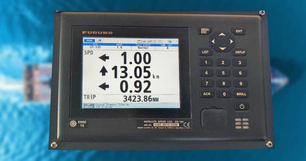
The speed log measures the ship’s speed through water (STW) or over ground (SOG), and records the total distance traveled.
- 📈 Function: Assists in voyage planning, ETA computation, fuel monitoring, and current estimation
- 🔗 Often connected to: ECDIS, ARPA, and engine performance systems
- 📝 Maritime Terminology Note: Called a “log” due to its origin. Sailors once threw a logline into the water to estimate speed
🧠 Modern logs may use Doppler, electromagnetic, or GPS-based sensors.
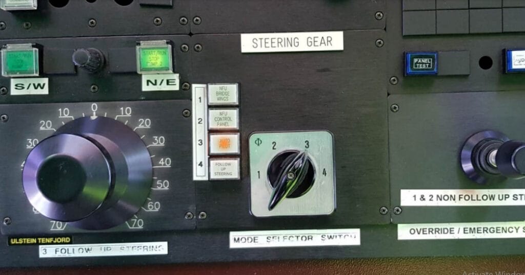
11. 🧭 Autopilot System
The autopilot maintains the ship’s course by adjusting rudder movements automatically.
It reduces fatigue on the helmsman and allows for continuous, accurate steering.
- 📈 Function: Keeps vessel on preset heading or track with minimal manual input
- 🔗 Interfaces with: gyro compass, ECDIS, and rate of turn indicator
- 🛠️ Modes include: Heading Hold, Track Control, and Follow-Up (FU) systems
⚙️ Autopilot improves fuel efficiency and frees the OOW to focus on lookout and situational awareness.
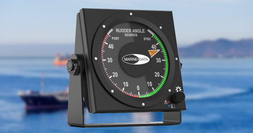
12. 🛑 Rudder Angle Indicator
Displays the angle of the rudder in real time relative to the centerline.
It helps the helmsman anticipate and control turning behavior.
- 📈 Function: Critical for manual steering, especially during course alteration and close-quarter maneuvering
- 🧭 Color-coded: Red (port), Green (starboard)
- 🗺️ Units: Usually marked in degrees (e.g., 10°, 20°, 30°)
🧠 This tool is key for maintaining tight control during restricted waters, berthing, and anchoring.
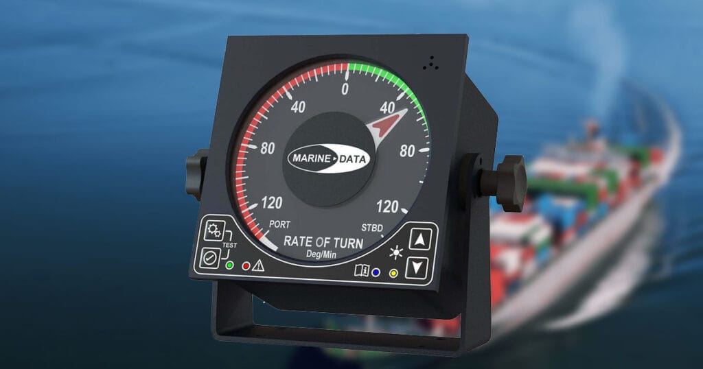
13. 🔁 Rate of Turn Indicator (RoTI)
The Rate of Turn Indicator shows how fast the ship is turning, expressed in degrees per minute. It’s crucial for executing smooth course changes and maneuvering.
- 📈 Function: Displays vessel’s turning rate in real time
- 🔗 Integrated with: autopilot and steering control systems
- 🧭 Use case: Helps determine the correct wheel-over point and ensures compliance with turning restrictions
🌫️ Essential in poor visibility or when altering course in Traffic Separation Schemes (TSS).
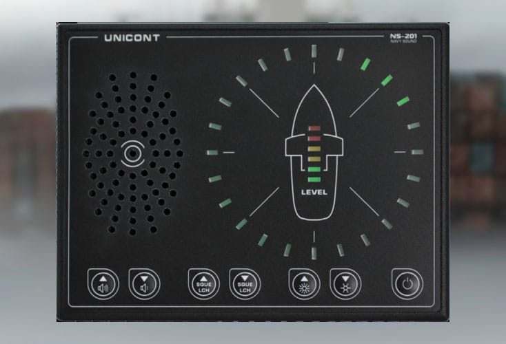
14. 🎧 Sound Reception System
Installed on fully enclosed bridges, this system detects external sound signals, like foghorns, and relays them inside via loudspeakers.
- 📈 Function: Allows OOW to hear fog signals or alarms from other vessels
- 🧏 Especially useful in: restricted visibility, poor weather, or nighttime navigation
🚢 Mandatory under SOLAS for ships with enclosed navigation bridges.
15. 📡 GMDSS Console (Global Maritime Distress and Safety System)
The GMDSS is an integrated communication system for distress alerting, search and rescue coordination, and safety messaging.
- 📈 Function: Ensures constant communication via VHF, MF/HF, Inmarsat, and NavTex
- 🧰 Components: DSC radios, satellite terminals, printers, telex units
- 🌐 Mandated for: SOLAS-regulated ships on international voyages
📢 Designed to function globally without human intervention in emergencies.

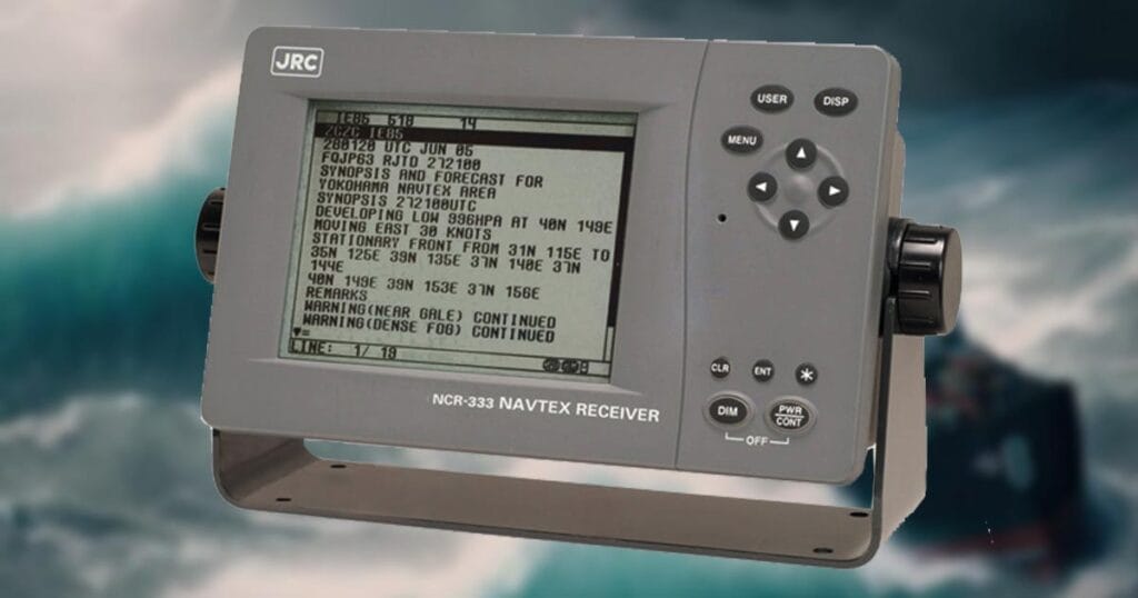
16. 📑 NavTex Receiver
NavTex is an automated maritime communication system that broadcasts navigational and meteorological warnings.
- 📈 Function: Provides safety messages, warnings, and urgent info on a narrowband frequency (518 or 490 kHz)
- 🌍 Area-specific: Ships receive updates from the station closest to their position
- 🧭 Display: Shows forecasts, navigational hazards, and SAR alerts in plain text
⚓ Part of the GMDSS suite and critical for daily route planning.
17. 💡 Navigational Lights
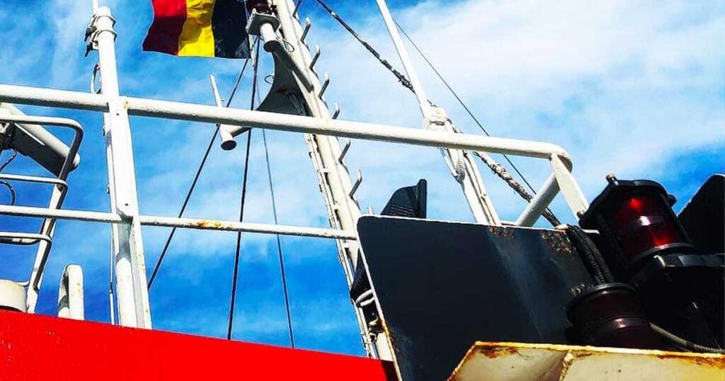
Navigational lights are prescribed by COLREGS to show a vessel’s type, heading, and activity during night or restricted visibility.
- 📈 Function: Prevents collision by visually communicating status to nearby vessels
- 🟢 Standard layout: Green (starboard), Red (port), White (stern and masthead), Yellow (special conditions)
- 📌 Used by: All powered vessels, tugs, sailing vessels, and special operations ships
🚨 Incorrect light configurations can mislead other vessels and lead to accidents.
18. 🔭 Marine Sextant
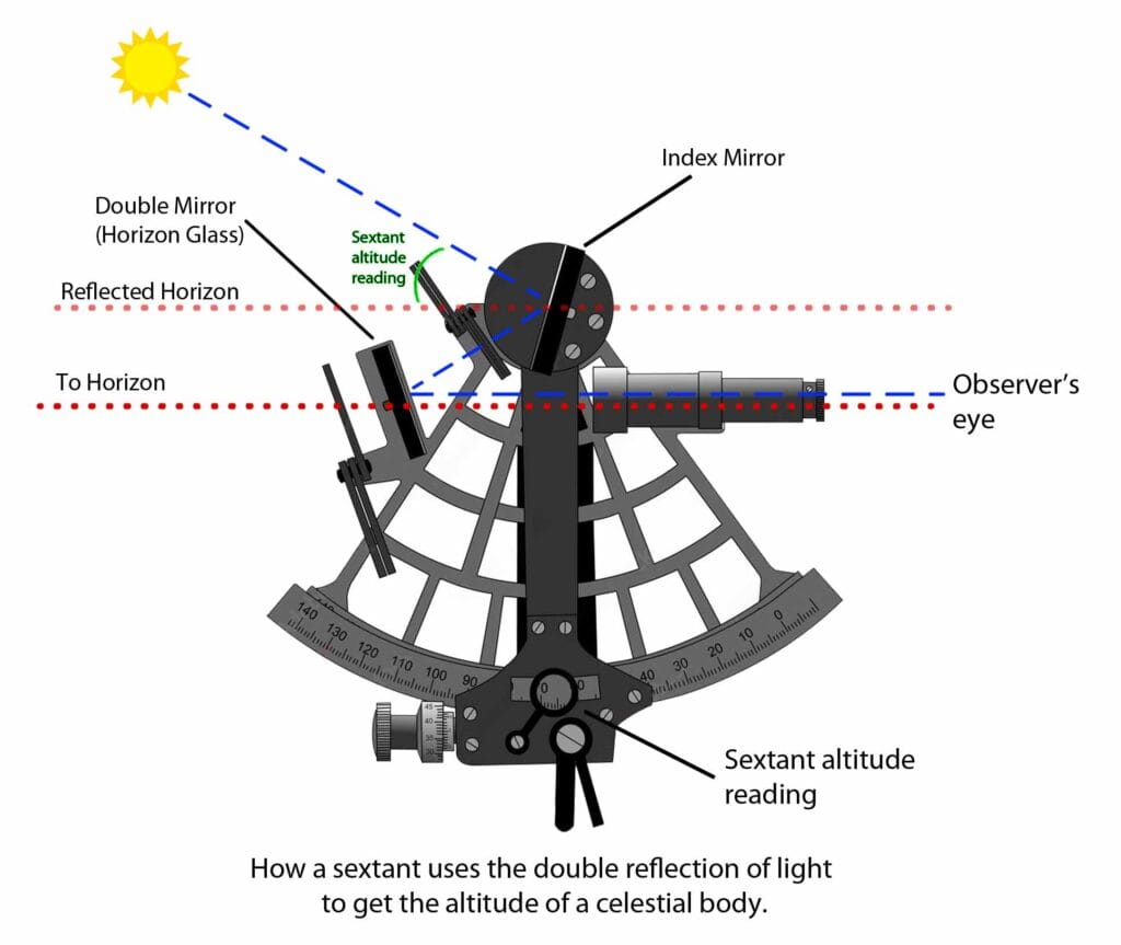
The marine sextant is a traditional tool used to measure the angle between celestial bodies and the horizon- key for celestial navigation.
- 📈 Function: Calculates latitude (and longitude) using celestial observations and nautical almanacs
- ⚓ Use case: Backup navigation when GPS and electronics fail
- 🧠 Skills needed: Sight reduction, timekeeping, and plotting
🌞 Still required knowledge for deck officers under STCW, proving that ancient techniques remain vital.
19. 🗺️ Nautical Charts
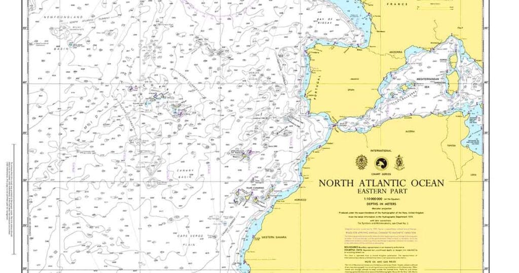
Nautical charts are paper-based representations of marine areas, showing coastlines, water depths, hazards, and navigational aids.
- 📈 Function: Used for position plotting, route planning, and celestial fixes
- 📌 Kept onboard: Even with ECDIS, SOLAS requires backup paper charts or a second ECDIS
- 🧠 Skills: Chartwork, dead reckoning (DR), and celestial fixes with a sextant
📎 Essential for redundancy when electronics fail or for officer assessment and training.
20. 🔍 Binoculars
Binoculars are handheld optics that magnify distant targets for lookout and identification.
- 📈 Function: Enhances visual scanning for ships, buoys, shorelines, and hazards
- 🔍 Common magnification: 7×50 marine binoculars with compass overlays
- 🧠 Use case: Watchkeeping, approach navigation, collision avoidance
👁️ Despite radar and AIS, every watchkeeper still relies on a good pair of binoculars.

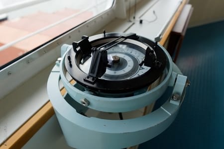
21. 🎯 Pelorus
The pelorus (also called a dumb compass) is mounted near a compass and used to take relative bearings of objects at sea.
- 📈 Function: Helps determine the bearing of buoys, ships, or land features relative to the ship’s heading
- 🧭 Use case: Cross bearings, running fixes, and position verification
- 🔗 Works with: Gyro or magnetic compass
🧠 Used in manual navigation and during radar failure to cross-check bearings.
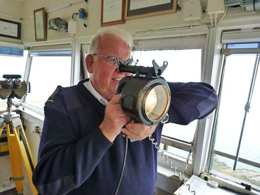
22. 💡 Daylight Signaling Lamp (Aldis Lamp)
This signaling lamp transmits messages visually using Morse code often used when radio communication fails.
- 📈 Function: Sends messages to other ships, aircraft, or shore stations via light flashes
- ⚙️ Operation: Manual trigger or automatic control of shutter
- 🌞 Day/Night use: Works over several nautical miles
📢 Still used during radio silence or when VHF response is unavailable.
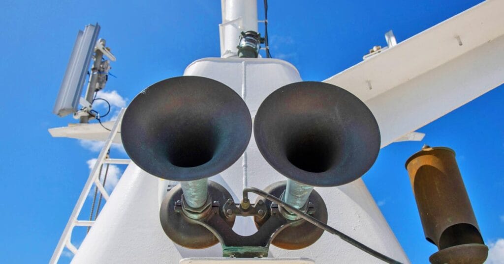
23. 📣 Ship’s Whistle / Foghorn
The ship’s whistle, also known as a foghorn, is a powerful sound signal used to communicate maneuvering intentions, warnings, or presence.
- 📈 Function: Emits standardized signals as required by COLREGS Rule 35
- 🔊 Signals: One short blast (port), two short (starboard), five short (danger), etc.
- 📍 Location: Monkey island and forward mast
🌫️ Especially important during reduced visibility or in heavy traffic.
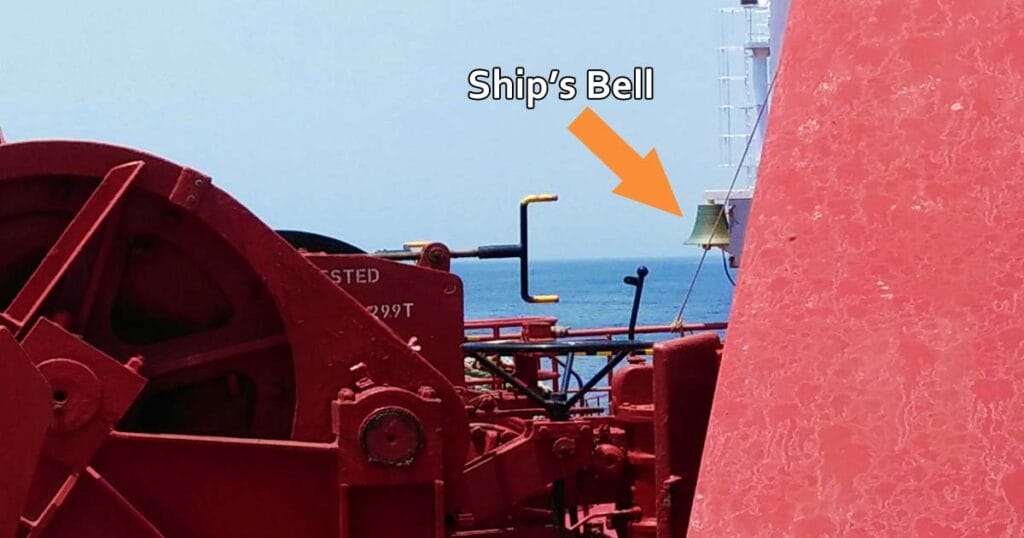
24. 🔔 Forecastle Bell
The forecastle bell is a traditional sound signal used in restricted visibility or ceremonial purposes.
- 📈 Function: Rung at intervals during fog conditions (per COLREGS) to indicate vessel’s presence
- 📍 Location: Forward of the ship on the forecastle deck
- 🔗 May be automated or manually struck
🛎️ Still required on SOLAS vessels for compliance with sound signaling rules.
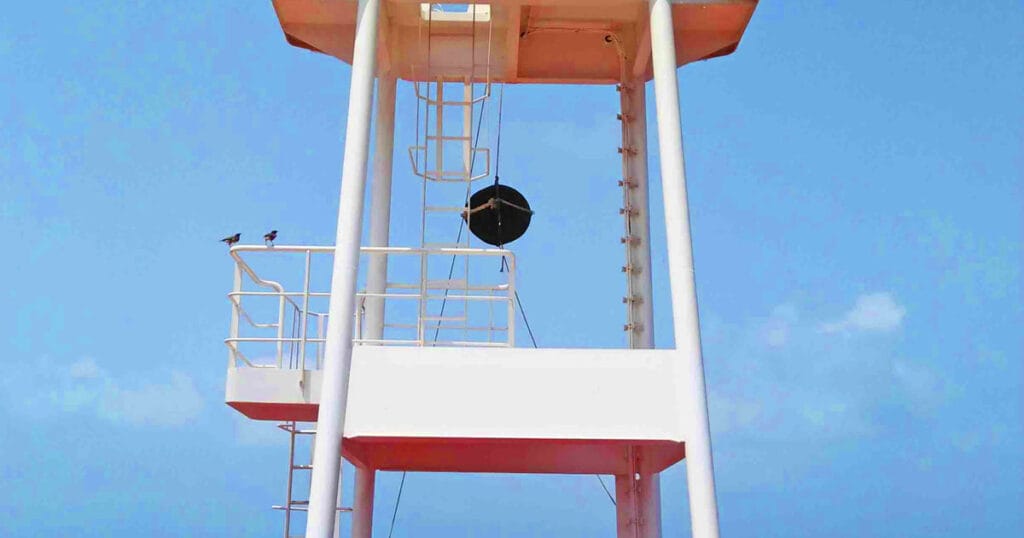
25. ⚫ Navigational Shapes
Day shapes are black geometrical signals hoisted on the mast during daylight to indicate special vessel conditions.
- 📈 Function: Signals “at anchor,” “not under command,” “restricted in ability to maneuver,” etc.
- 📐 Types: Ball, cone, cylinder, and diamond shapes
- ⚓ Required by: COLREGS Rule 27 and Annex I
📢 Used to visually convey status to nearby vessels during the day.
26. 🏴☠️ Signal Flags
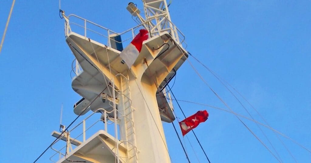
International maritime signal flags use combinations of alphabetic symbols to convey standardized messages.
- 📈 Function: Communicates instructions, intentions, or conditions visually between ships
- 🔠 Examples: “H” (Hotel) = “Pilot onboard”, “A” (Alpha) = “Diver down, keep clear”
- 📍 Location: Flown on signal halyards on the aft or main mast
🚩 Still actively used in ports, naval operations, and ceremonial contexts.
✅ Conclusion: Mastering the Tools of the Trade
Maritime navigation is a fusion of old-school skills and modern technology.
While ECDIS, ARPA, and AIS have transformed bridge operations, traditional tools like the sextant, compass, and nautical chart remain vital backups, and in some situations, life-saving.
Every seafarer, especially deck officers, must not only operate but also understand the limitations and integration of these tools.
When used together, they create a reliable, layered system of safe navigation meeting SOLAS requirements and ensuring passage safety.
❓ Frequently Asked Questions (FAQs)
What are the most important navigational tools on a ship?
The core tools include the gyro compass, radar, ECDIS, AIS, magnetic compass, GPS, and ARPA– all vital for real-time navigation and collision avoidance.
Why is the magnetic compass still required?
Despite advanced electronics, the magnetic compass remains a non-electric backup that provides essential heading information, especially in the event of system failure.
What does ECDIS replace onboard ships?
ECDIS replaces paper nautical charts for route planning and monitoring but requires redundancy via another ECDIS or updated paper charts.
Are navigational lights and shapes mandatory?
Yes, COLREGS require all vessels to display appropriate lights and shapes to indicate their status, maneuverability, or restrictions.
What is the purpose of GMDSS?
GMDSS ensures global communication and distress alerting, integrating radios, satellite systems, and automated distress signaling tools for maritime safety.
📣 Call to Action: Level Up Your Navigational Knowledge!
Mastering navigation tools is key to advancing your maritime career.
Whether you’re a cadet preparing for OIC-NW exams or a seasoned officer brushing up, knowing how and when to use these tools is vital to safe ship operation.
📥 Bookmark this article and share it with fellow seafarers. Let’s build a smarter and safer maritime community together! 🌊⚓
May the winds be in your favor.
Leave a Reply